







Hiking facts

- Recommended travel time
June to October
- Flight connections
Pristina itinerary
Edelweiss tips:
One of the most beautiful routes for you to tackle in the Balkans is the Peaks of the Balkans long-distance hiking trail. It runs for 192 kilometres through Albania, Kosovo and Montenegro. Although the official starting and finishing points are in Theth, Albania. However, the route can also be reached from other easily accessible locations, such as Peja, just under 1.5 hours’ drive from Pristina. You can always walk individual sections and combine them with sightseeing. Please note: to cross the relevant national borders, you will need permits, which must be applied for well in advance.
Top hiking routes near Pristina

The summit: to Kosovo’s highest mountain Difficult
Keen hikers certainly won’t want to miss Kosovo’s highest mountain. At 2,656 metres high, Gjeravica towers high above Junik, which lies between the towns of Deçan and Gjakova. From the summit, there is a breathtaking view across the triple border of Albania, Montenegro and Kosovo. Down below, the lakes of Gjeravica glisten – and the subsequent descent down to them is definitely worth the effort.
- Tour duration 4 hrs 45 min
- Distance 11.6 km
- Ascent 430 m
- Descent -430 m

Along green paths above the Rugova Gorge Difficult
The 25-kilometre-long Rugova Gorge is situated near the town of Peja in western Kosovo. At the entrance, there is an information point from which various routes start out. Incidentally, this is also the location of the Balkans’ first via ferrata, which opened in 2013. The Green Path crosses rivers, winds past rocks and passes through mountain villages. Its highest point is at 1,600 metres near the mountain village of Pepaj and offers a wonderful view.
- Tour duration 6 hrs 25 min
- Distance 20.9 km
- Ascent 1,090 m
- Descent -130 m

Unspoilt countryside and breathtaking views Medium
Kuqishtë, at the upper end of the Rugova Valley, is an ideal starting point for mountain tours, hikes and walks of varying levels of difficulty. This area captivates visitors with its unspoilt landscapes and breathtaking views. Take, for example, this walk to the Liqeni i Kuqishtës mountain lake. If you’re in the mood for a bit more action afterwards, why not visit a stalactite cave or go rafting or climbing?
- Tour duration 3 hrs 10 min
- Distance 2.8 km
- Ascent 760 m
- Descent -100 m

In the land of springs and mountain lakes Difficult
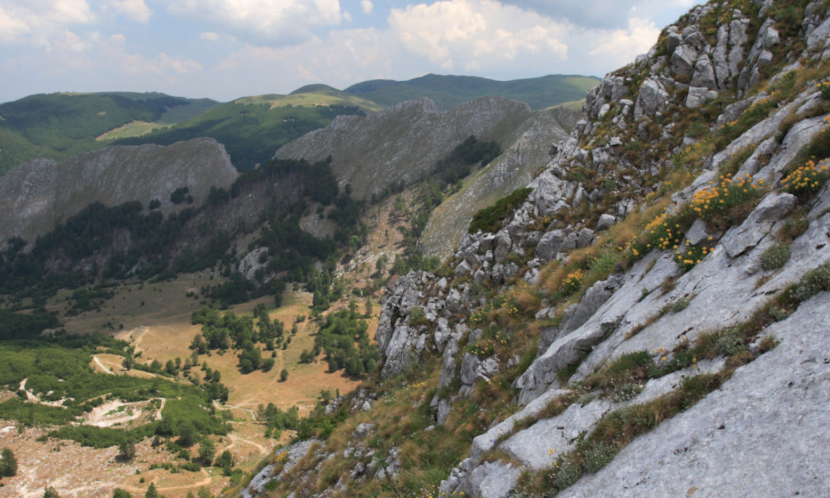
In the south of Kosovo, just under an hour and a half’s drive from Pristina, lies the Šar Planina, an 80-kilometre-long mountain range on the border with North Macedonia. This region is not only renowned for its numerous springs, rivers and mountain lakes, but also for its speciality cheeses, which are flavoured with local herbs. One of the best-known mountains, Ljuboten, is easily accessible from the Kosovo side and offers not only magnificent views but also impressive flora and fauna – even though the climb to the summit is not easy and requires a fair bit of stamina.
- Tour duration 7 hrs 45 min (ascent and descent)
- Distance 18.9 km
- Ascent 1,580 m
- Descent -1,580 m

Maja Rosit: a steep climb up the border Difficult
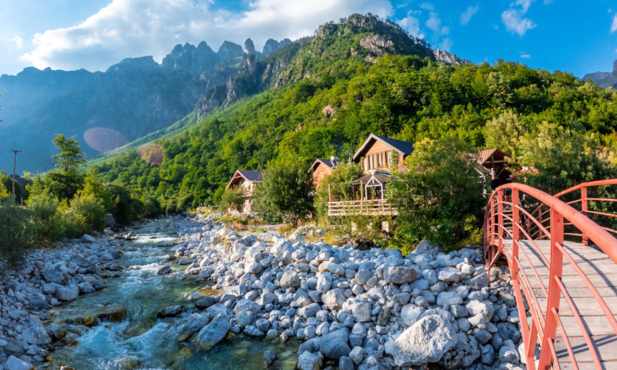
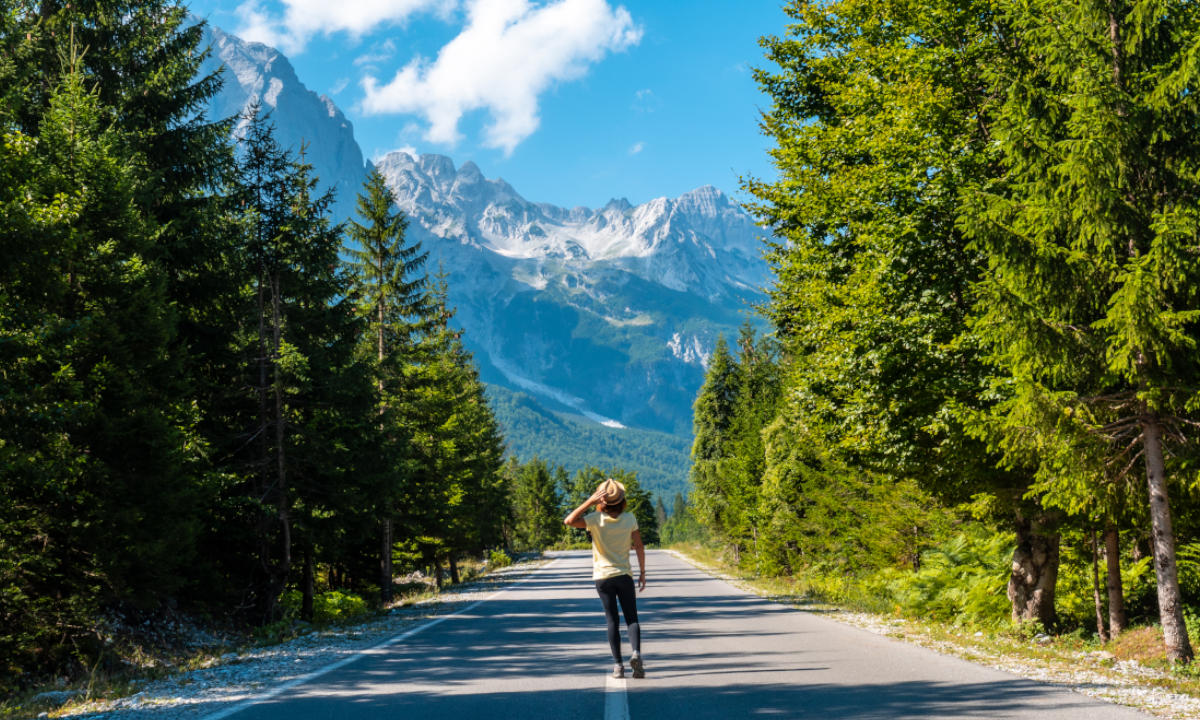
The mountain village of Valbona in Albania is a good 2.5 hours’ drive from Pristina. The valley of the same name and the national park are both popular hiking destinations, as they are nestled amongst the high peaks. Among them is Maja Rosit (also known as Rosni Vrh), whose 2,524-metre-high peak marks the border between Albania and Montenegro. Maja Rosit is the third-highest mountain in Montenegro. The climb is correspondingly steep – a good level of fitness is recommended. But once you’ve made it to the top, you’ll be rewarded with a magnificent view. Tip: this tour is best undertaken later in the year, as there may still be snow even in June.
- Tour duration 4 hrs 50 min (ascent only)
- Distance 8.39 km
- Ascent 1,530 m
- Descent -97 m

 Sports baggage
 Search for flights