








Hiking facts

- Recommended travel time
April to October
- Flight connections
Marrakesh itinerary
Edelweiss tips:
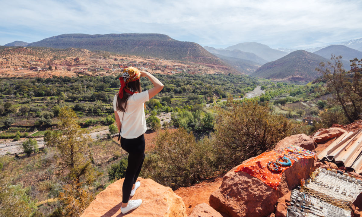
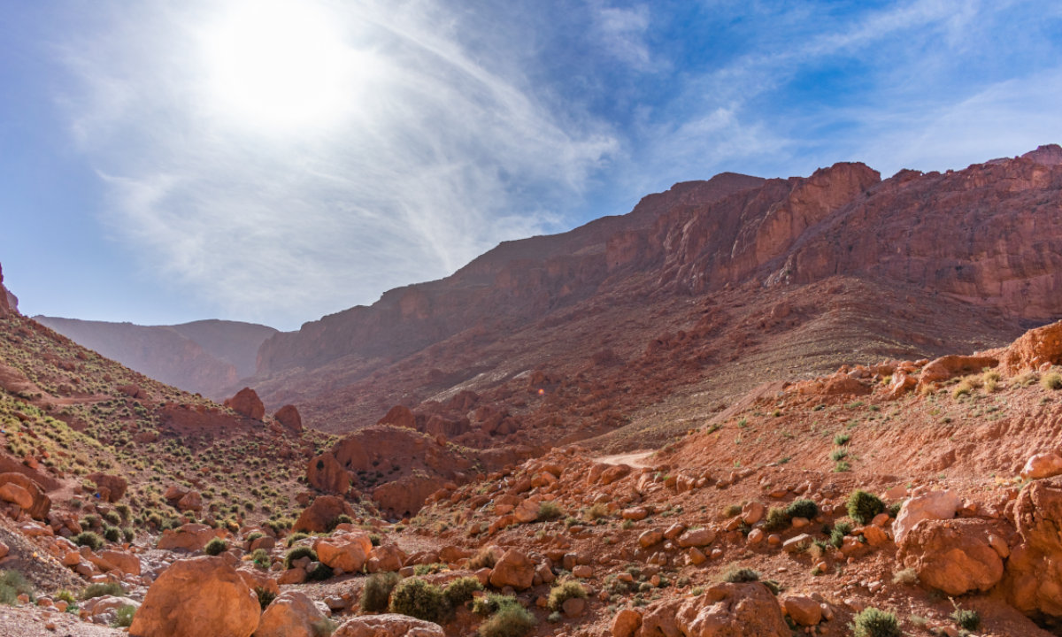
The High Atlas is THE trekking region in Morocco. Most tours start in the mountain village of Imlil, a good 30-minute drive from Marrakesh. There are some lovely riads to stay in here, as well as food shops and a hiking shop where you can, for example, hire crampons. The good news for camping enthusiasts: wild camping is allowed almost everywhere. But please note: this does not apply to coastlines and beaches, where strict action is taken against people camping in unauthorised places. Another point to bear in mind is that, as Morocco is an Islamic country, it is important to pay attention to certain dress codes. Hikers should also keep their shoulders, neckline and stomach covered – this also provides protection from the sun.
Top hiking routes around Marrakesh

Jbel Toubkal: the roof of North Africa Difficult
In the heart of the High Atlas mountains, at 4,167 metres, stands North Africa’s highest peak: Jbel Toubkal. It attracts countless hikers every year: firstly, the view from the summit is spectacular, and secondly, the walk – at least in summer – is manageable even for beginners. From Imlil, it takes a good five to six hours to hike to the mountain refuges, where you can spend the night in a tent or in a dormitory. It’s best to set off early the next day to climb the summit. If you like, you can also add an ascent of Jbel Ouanoukrim (4,089 m) and/or Timzguida (4,089 m) to your itinerary.
- Tour duration 14 hrs 40 min (round trip with overnight stay)
- Distance 29.9 km
- Ascent 2,440 m
- Descent -2,440 m

In the Valley of the Seven Waterfalls Difficult
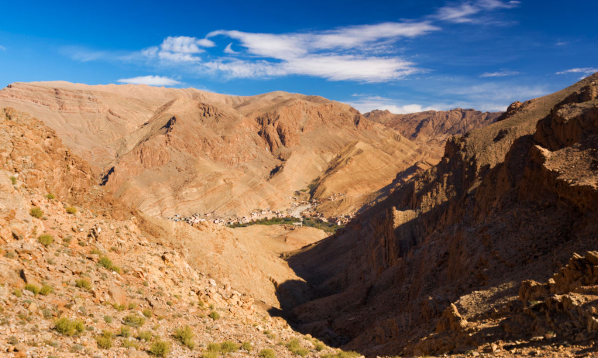
The village of Setti Fatma lies a good 1.5 hours’ drive from Marrakesh at the end of the picturesque Ourika Valley, which offers a breathtaking backdrop. The roaring River Ourika is lined with Berber villages and gardens full of cherry trees, whilst the peaks of the Atlas Mountains rise up in the background. This circular route starts at Setti Fatma and follows narrow paths past impressive rock formations through a steep side valley of the Ourika Valley, where a mountain stream plunges down the slopes: the Valley of the Seven Waterfalls. Apparently, there are actually more than seven – feel free to count them.
- Tour duration 2 hrs
- Distance 3.28 km
- Ascent 280 m
- Descent -270 m

Free as a bird on the Kik Plateau Difficult
A wonderful area for hiking is the rugged highlands of the Kik Plateau, located right in the middle of the High Atlas mountains. The rocky outcrop offers a magnificent view of the valley and the Lalla Takerkoust reservoir. The area is renowned for its unique limestone topography and views of the majestic mountains, including Jbel Toubkal. This circular route starts and ends in the Berber village of Asni (1,149 m). Tip: be sure to take a pair of binoculars with you, as there are golden eagles, vultures and falcons to watch out for.
- Tour duration 6 hrs 15 min
- Distance 21.8 km
- Ascent 490 m
- Descent -500 m

Head and shoulder: two peaks in one go Difficult
Ouanoukrim is the second-highest mountain in Morocco and consists of two peaks of equal height: the Timzguida (meaning ‘shoulder’ in English) and the Ras (meaning ‘head’ in English). The two are linked by a broad saddle, so it’s easy to climb both during a single hike. First, you’ll hike through the Mizane Valley to the Tizi n’Ouagane pass; then the rocky part of the adventure begins, which also involves some climbing. Reaching the summit is rewarded with a breathtaking view. The tour can easily be extended to several days and combined with an ascent of Jbel Toubkal.
- Tour duration 7 hrs 50 min (only one way/ascent)
- Distance 13.6 km
- Ascent 2,160 m
- Descent -10 m

Hiking in the ski resort Medium
Describing Oukaïmeden as a ski resort might seem a little too bold for the Swiss – but there is, in fact, a chairlift in winter that takes winter sports enthusiasts up to the summit. In summer, hikers can enjoy a lovely route across grassy terrain along the ridge. There are wonderful views throughout the entire hike. And there are mysteries to uncover: rock carvings from times long past.
- Tour duration 3 hrs 05 min
- Distance 10 km
- Ascent 360 m
- Descent -360 m

 Sports baggage
 Search for flights